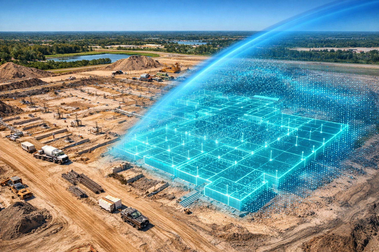
Precision drone mapping is the process of using high-resolution aerial imagery to create 2D maps and 3D models of job sites. For construction project managers in Southwest Florida, this technology replaces manual inspections with digital site replicas that are accessible from any device.
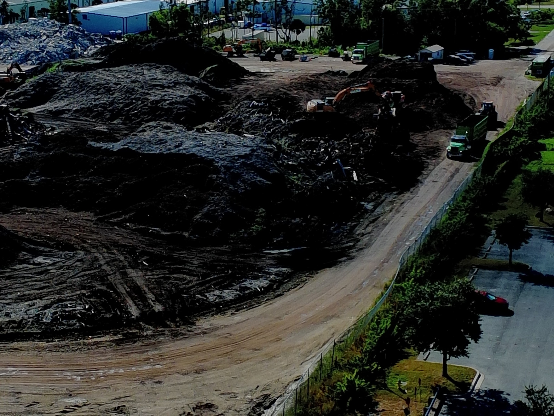
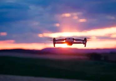
Traditional progress tracking often relies on walk-throughs, handheld photos, and subjective reporting. These methods are time-consuming and prone to human error. Cape UAV utilizes enterprise-grade platforms, including the Autel Robotics EVO Lite 6T Enterprise, to capture site data with a 50MP visual camera and a 640×512 thermal sensor. This combination provides a comprehensive view of site conditions that traditional methods simply cannot match.
The Shift from Manual to Digital Site Intelligence
Managing a construction site requires constant vigilance over schedules, materials, and subcontractors. When site data is collected manually, information gaps are inevitable. Precision drone mapping eliminates these gaps by providing a bird’s-eye view that captures the entire project footprint in a single flight.
Why This Matters:
- Complete Visibility: Captures areas that are difficult or dangerous to reach on foot.
- Historical Documentation: Creates a permanent, time-stamped record of every stage of construction.
- Remote Management: Allows stakeholders to inspect the site without physically traveling to Cape Coral or surrounding areas.
By implementing regular drone flights, project managers transition from reactive problem-solving to proactive site management. You no longer have to wonder if the foundation was poured correctly or if the site drainage is functioning as intended: the data is right in front of you.
High-Resolution Deliverables: Orthomosaics and 3D Models
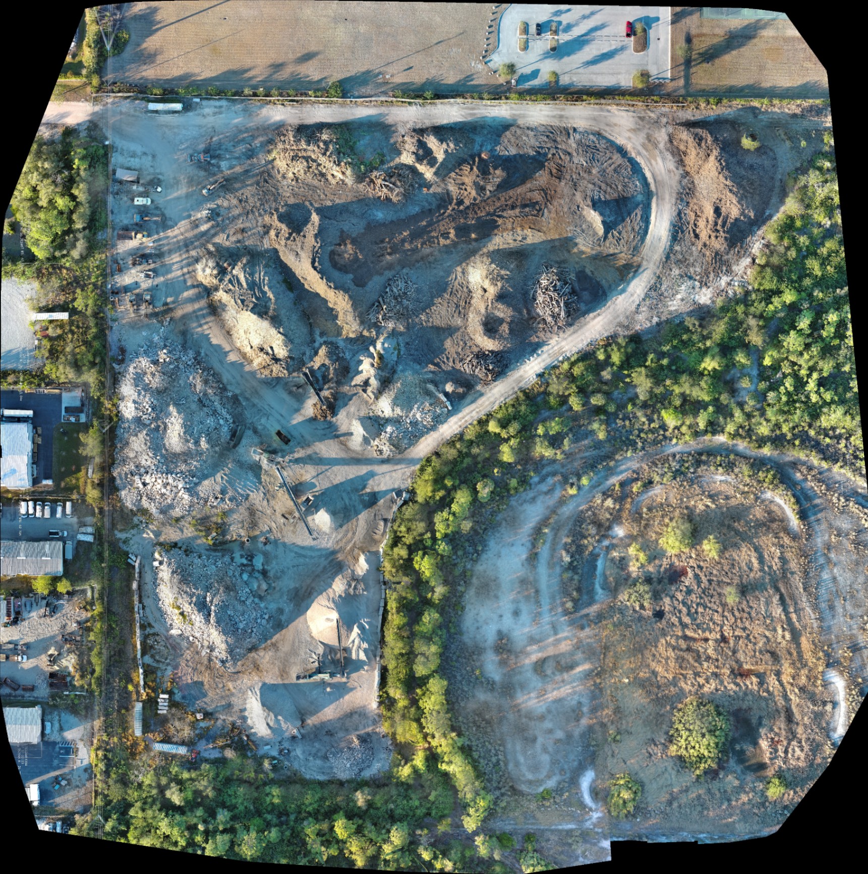
The primary output of a drone mapping mission is the orthomosaic map. This is a large, high-resolution image created by stitching together hundreds of individual aerial photos. Unlike a standard aerial photo, an orthomosaic is geometrically corrected to remove lens distortion and perspective tilt, making it a reliable tool for planning and documentation.
Digital Surface Models (DSM) and 3D Clouds
Beyond 2D maps, Cape UAV generates 3D point clouds and Digital Surface Models. These deliverables allow teams to visualize site topography, calculate stockpile volumes, and verify elevations. While our data is for planning purposes and is not a substitute for a licensed land survey, it provides the visual clarity needed to identify potential issues before they become expensive change orders.
Technical Specs That Drive Clarity:
Our equipment, such as the Autel Robotics EVO Lite 6T Enterprise, features a 50MP visual sensor. This allows for extreme zooming capabilities within the orthomosaic without losing detail. You can zoom in to inspect specific rebar placements or utility conduits with crystal clarity.
Speed and Efficiency in Data Collection
Time is the most valuable resource on a construction site. A traditional ground-based documentation process for a 50-acre site can take a full day or more. A precision drone flight can cover the same area in less than 30 minutes.
Faster Reporting Cycles
Because the data collection is automated, we can provide weekly or even daily updates. This frequency allows project managers to catch deviations from the site plan in real-time. If a trench is dug in the wrong location or a shipment of materials is placed in a way that blocks access, it is identified immediately.
Why This Matters:
- Reduced Site Disruption: Drones operate overhead without interfering with heavy machinery or subcontractors.
- Consistent Data: Automated flight paths ensure the same areas are captured from the same angles every time, allowing for perfect "side-by-side" progress comparisons.
- Enhanced Safety: Reduces the need for personnel to walk through active excavation zones or climb onto rooftops for inspections.
Integrating Thermal Imaging into Construction Progress
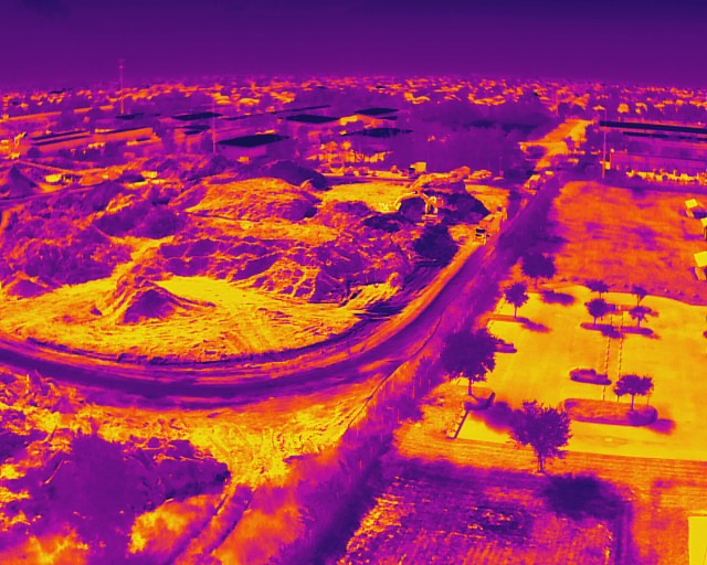
While visual mapping is the standard, integrating thermal imaging adds a second layer of intelligence. At Cape UAV, our enterprise drones feature a 640×512 thermal sensor with a 12um pixel pitch. This high-sensitivity sensor detects heat signatures that are invisible to the naked eye.
During the construction phase, thermal imaging is used to verify the integrity of building envelopes, detect moisture intrusion in newly installed roofing, and monitor the curing process of large concrete pours.
ROI Advantage: Thermal Insights
Detecting a moisture leak or an insulation gap during the "dry-in" phase is significantly cheaper than fixing it after the drywall and finishes are installed. By using thermal-equipped drones, we help you identify these anomalies early, protecting your project’s budget and timeline.
Comparing Traditional Methods vs. Precision Drone Mapping
| Feature | Traditional Ground Methods | Cape UAV Drone Mapping |
|---|---|---|
| Data Collection Speed | Hours to Days | Minutes to Hours |
| Data Density | Limited to specific points | Millions of data points per site |
| Visual Detail | Handheld photos (disjointed) | High-res Orthomosaic (unified) |
| Accessibility | Physical site visit required | Digital access via cloud/web |
| Safety Risk | High (personnel on site) | Low (overhead operation) |
| Thermal Integration | Manual handheld checks | Automated aerial scanning |
Improving Stakeholder Communication
One of the most overlooked benefits of precision drone mapping is the improvement in communication. Construction projects involve multiple parties: investors, engineers, subcontractors, and clients. Miscommunication regarding progress is a leading cause of disputes.
Providing stakeholders with a high-resolution visual timeline eliminates ambiguity. When everyone is looking at the same high-resolution orthomosaic, meetings become more productive, and approvals happen faster.
The Cape UAV Advantage in Southwest Florida
We understand the unique challenges of the Florida landscape, from drainage issues to the rapid pace of land development. Our FAA Part 107-certified pilots ensure that every mission is flown safely and legally, providing you with data you can trust for your planning and documentation needs.
ROI Advantage: Cost Savings Through Prevention
The return on investment for drone mapping isn't just about the time saved during inspections; it’s about the costs avoided through early detection.
- Avoided Rework: Catching a site plan deviation early can save tens of thousands of dollars in demolition and reconstruction costs.
- Accurate Material Tracking: Precise visual documentation of stockpiles helps manage inventory and prevents over-ordering.
- Dispute Resolution: Having a high-resolution, dated visual record of the site can quickly resolve "he-said, she-said" disputes regarding subcontractor progress or site damage.
By positioning Cape UAV as your technical partner, you gain an expert eye in the sky that monitors your investment with precision and professional-grade technology.
Important Disclaimer: Our data is for planning purposes and is not a substitute for a licensed land survey. Thermal results indicate anomalies and are not a substitute for evaluation by a licensed professional.
Ready to Modernize Your Progress Tracking?
If you are managing a construction or land development project in Southwest Florida, it’s time to move beyond manual reporting. Precision drone mapping provides the clarity, confidence, and control you need to keep your project on track and under budget.
Explore our services:
Important Disclaimer: Our data is for planning purposes and is not a substitute for a licensed land survey. Thermal results indicate anomalies and are not a substitute for evaluation by a licensed professional. Autel Robotics is a trademark of its respective owner; Cape UAV is not affiliated with or endorsed by Autel Robotics. Results depend on environmental conditions and site specificities.